I did this about 2 years ago. Because of the fact that the Polar Plot I did was not been updated "on the flow", i let it build up for 2 or 3 month.
The way I did it:
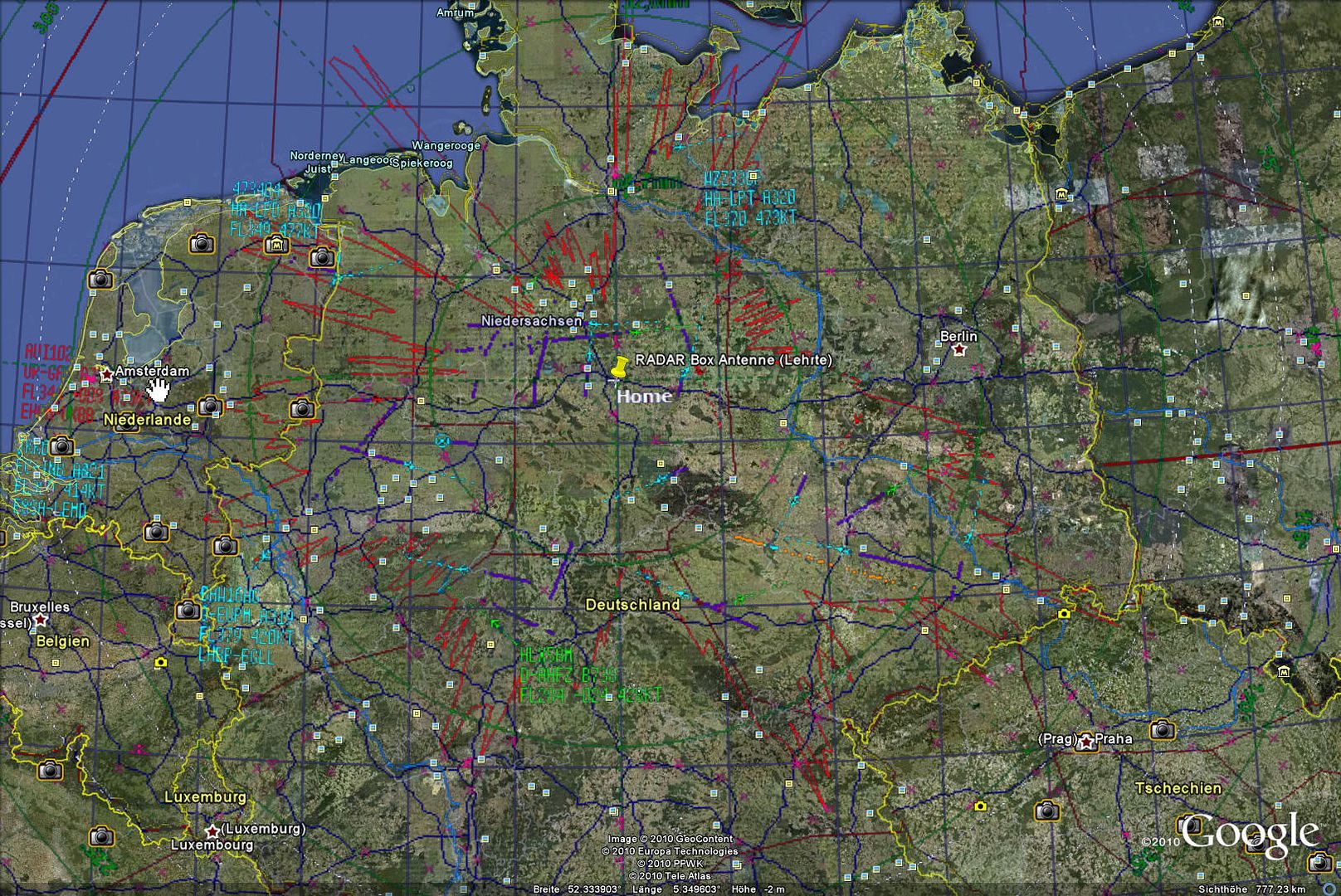
-Create a My Color scheme at least with Country Boundary, Home Position and Polar Plot in a Color different than Black.
-Gone to fullscreen via ESC Button.
-Make Screenshot and saved the image. If don't want Historic Air Craft positions in the Overlay switch of Hardware and Network processing bevore taking the screenshot.
-Went to a Grafik Programm an changed the Black to Transparency
Now it gets a little bit tricky:
-Import the transparent Screenshot as a Overlay into Google Earth and make sure, that the Country Boundary of the GE Map and the overlay Map are matching. The Homeposition of the overlay and in GE shall match either. To make them match is the tricky part. It cost me more or less a hour to get satisfied with the result.
There may be an easier way, which I'am awaiting to hear either.
My result: